A few days ago, I discovered a unique new walking spot in Southern Ontario which had never before come to my attention. And I discovered it in a very odd way. I was driving south from London, past the western outskirts of the city of St. Thomas -- "the Railway City" -- and I knew that I would pass under a railway trestle over the river valley through which the road was running. Then I came up to the trestle -- and I noticed something very odd about its appearance.

Let's face it -- one does not normally see sizable trees and a giant weathervane standing on a railway trestle!
As I would discover, what I was seeing was the St. Thomas Elevated Park. I can guess that it might have been inspired by the success of the Highline in New York City, but this park reaches heights (thanks to the depth of the valley) that the Highline can only dream of.
To reach the park when coming south from Highway 401 and London, along either Sunset Drive or Wellington Road, exit along Talbot Street from the roundabout in the valley.
.png)
You can't miss the exit, largely because of this distinctive and eye-catching sculpture by Scott McKay in the middle of the circle.


At various times, as many as 26 different railway companies have served St. Thomas. It's no wonder that the municipality brands itself as "The Railway City!"
Driving up the long hill out of the valley, you will turn right at the top onto Stanley Street, and then -- after one full block -- right again onto Centre Street. On the right hand side, 2 blocks along, is the gravel parking lot. Follow the gravel walking trail out of the lot and you will quickly find yourself on the dead-level and ruler-straight railway right of way. This was the route of the Canada Southern Railway (later owned by Michigan Central) which ran from Niagara Falls to Windsor, and -- at one time -- even briefly hosted an Amtrak train using the route as a shortcut from Buffalo to Detroit.

It takes about 5 minutes to walk from the parking area along to the bridge proper. Here's how it appears as you approach it.

The trestle was wide enough for two tracks to cross at once, so there's ample room for the path -- whether boardwalk or concrete -- to veer from side to side, with numerous park benches interspersed among a diverse collection of intriguing public sculptures.


In the last picture of that group, you can see a strip of unpaved gravel cutting across the concrete paved walkway. The gravel is on top of the expansion joint, a necessary feature of any steel bridge as the metal of the bridge's supporting structure will expand and contract with changes of temperature. If the walkway were paved right across the joint, the paving would quickly crack and break up as the bridge flexed.
At the midpoint of the bridge is this intriguing piece.


After painfully transcribing with the help of the internet, I came up with the line of letters which you see above as my reading of the Morse Code dots and dashes on the plain metal strip, from top to bottom. Each of the plain metal strips has a string of dots and dashes, but unless it's some kind of coded message I would assume it's purely a random assortment of letters. However, it does remind us of the "good olde daze" when railway companies transmitted messages up and down the line by Morse Code dots and dashes sent along the trackside telegraph wires.
Not far away stands a historic relic: a masonry milepost from the old railway line. The letters "N.F." strongly suggest to me that this was Mile 117 on the Niagara Falls Subdivision. Unlike major highways, the mileposts on a railway in North America begin numbering from zero again each time the line enters a new subdivision of the system.

As you reach the western end of the bridge, the Elevated Park comes to an end but the railway trail keeps going and going and going.... It's part of the Trans-Canada Trail system and, although I don't know for sure, I wouldn't be surprised if the trail sticks with the old railbed all the way to Windsor.

The meandering walkway across the trestle allows for lovely views on both sides of the river valley below.


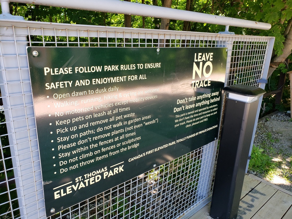
Several of the artworks, as you undoubtedly noticed, were commissioned by such service clubs as Kinsmen, Kiwanis, and Rotary. As the dedication signs at the eastern entrance to the bridge make clear, this entire project was one hundred percent funded by private donations from organizations and individuals in the community. But note also the laconic statement: "Canada's First Elevated Park."
Quite an achievement, in this day and age when so many "experts" lament the demise of community spirit and volunteerism. Congratulations to the people of St. Thomas for joining forces and creating such a fascinating community public space!
My entire walk from the parking lot to the far end of the bridge and return took about 25 minutes, which included stops for pictures and to admire the views.